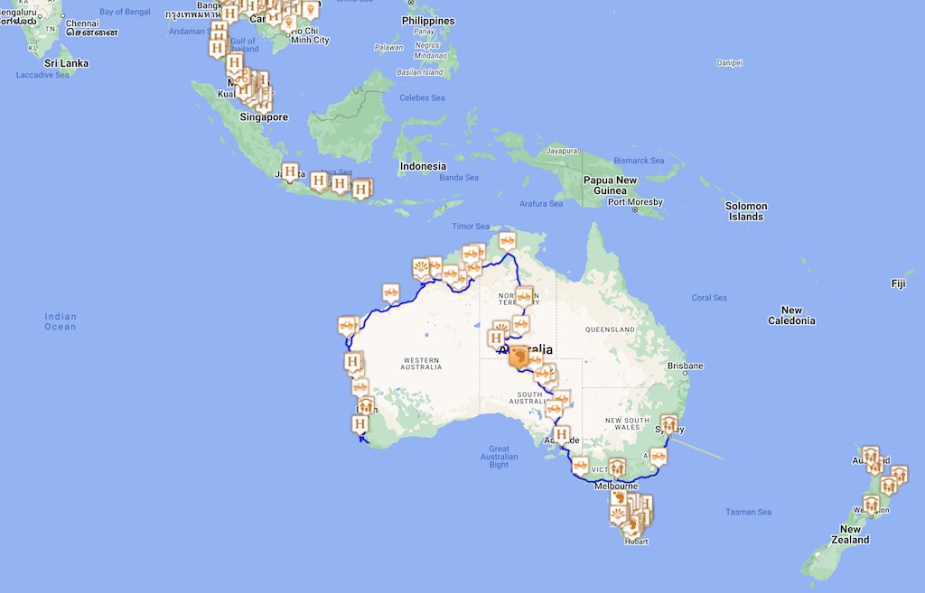
This post provides a brief overview of the mapping technology in use on the trip.
We have two Garmin GPS units. For the car we have a 5 inch Garmin nüvi 52LM that is useful for driving directions. For walking around we have the Garmin Oregon 450 handheld. We started off the trip with just the handheld expecting it to be able to be used for driving directions. We were completely wrong, the handheld is useless for driving directions. So while in Malaysia we purchased the nüvi.
The most important thing about these GPS devices is the maps that are loaded onto the devices. Or put another way, we have found for the driving directions to be useful, it is essential to have good quality map data. And on the 52LM it is possible to side-load one custom map onto an SD card.
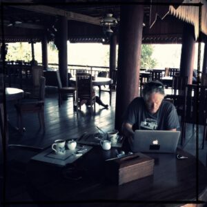
Our mapping software is Basecamp also by Garmin and runs on a Mac. Of course Google Earth is also used, but it really needs a network connection to be most useful. In Basecamp it is possible to download free maps from the internet and use them with Basecamp and view them off-line which helps with planning. However, some computer gymnastics is required to get these free maps onto Basecamp. White Acron provides a pretty good summary.
It is pretty easy to get maps onto the Garmin. The major steps are:-
- Download your desired map data from garmin.openstreetmap.nl. For the Garmin, the version to download is osm_generic_gmapsupp.zip or the file with the description “Compressed file that contains a single image that can be placed directly onto the SD-card of the GPS.”
After decompressing the zip file, load the mapsupp.img file into the “Garmin” directory of our Garmin micro-SD card. To keep things straight, we rename the file to something more understandable.
To get the map onto Basecamp, a slightly different and more comlicated process is used. The major steps are:-
- Download your desired map data from garmin.openstreetmap.nl. In this case, and as we are using a Mac, the version to download is osm_generic_macosx.zip or the file with the description “Map installer for BaseCamp/RoadTrip on the Mac OSX platform”.
- Load the map into Basecamp using Garmin Map Manager. If you do not have the Garmin Map Manager application, then download it for free from the Mac App StoreYou will probably want to change the name of the map and the Family ID to something useful and to avoid conflicts with other maps you download which will have the same name and ID. The map name can be changed with JaVaWa GMTK which is available for free at www.javawa.nl/gmtk_en.html. The map name and Family ID can be changed from the “Extra” menu icon and the “Change map name and ID” menu option. The free map is now available in Basecamp. The Open Street Map project provides routable maps which can be used for route planning and of course can be downloaded to our GPS for both driving and walking. There are other sources of maps on the internet.
This map can be transferred to our Garmin device using Garmin Map Install. But it usually takes a while, so the first procedure is easier to follow. In addition, the Address Search will not work correctly.
We also have MotionX on our iPhones and iPads. Great app, but does require a network connection to load maps and unload tracks.