Sunday, September 15, 2013
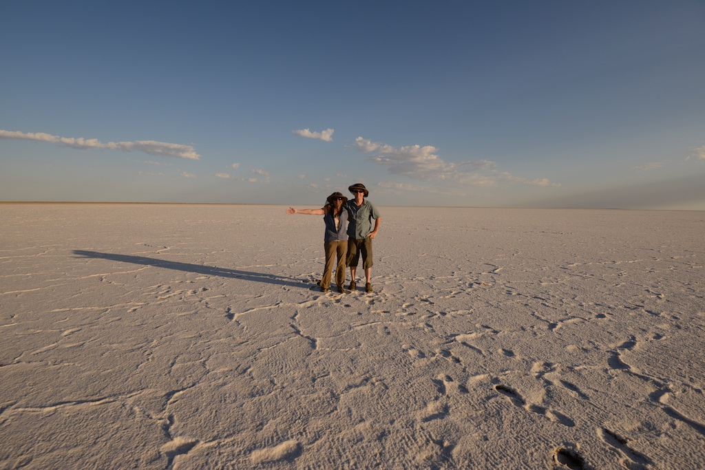
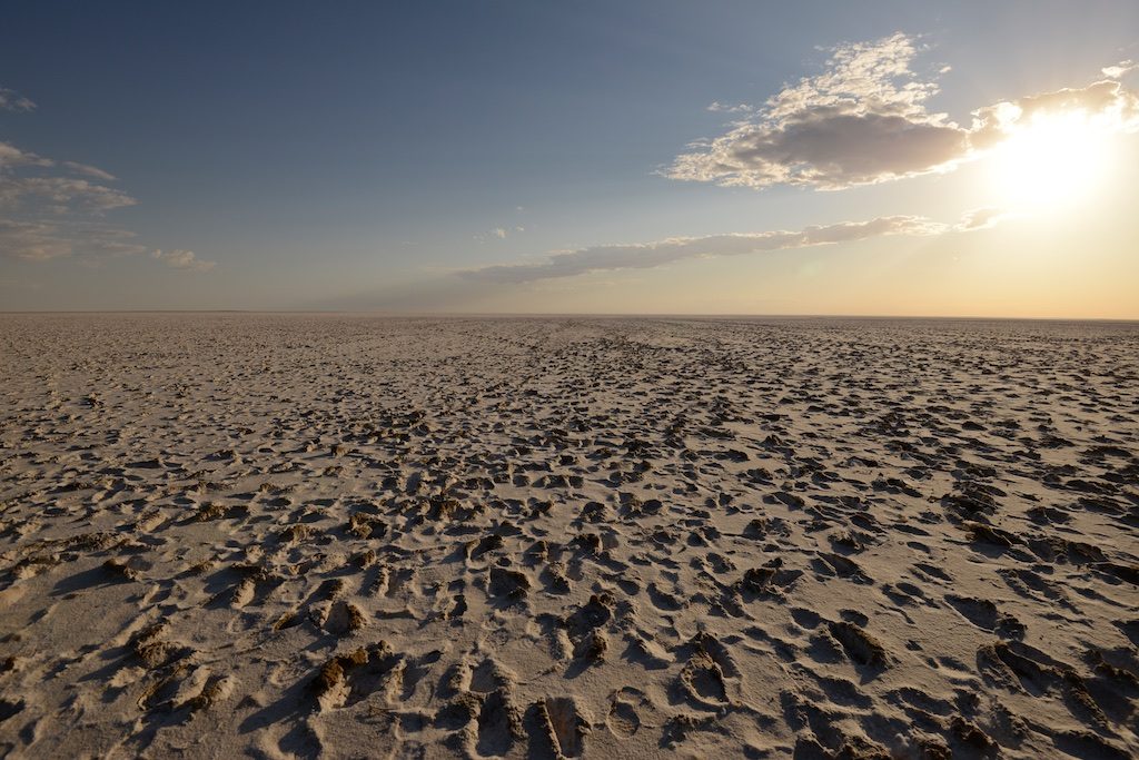
In the morning we walked to the actual Lake to take pictures. The delevation here is -12m; the lowest point of -15.2m is in Kati Thanda-Lake Eyre North. We ventured a short distance on the salt flat only to find that there was mud soggy mud under the salt crust. In fact there was so much soggy mud that you had to keep moving your feet in order to not sink in more than 5cm/2in. At one stage Caroline tried to reposition the tripod (which was sinking in the mud a little), therefor standing in one spot for a few seconds, and when she moved one foot again promptly sank in about 15cm. While trying to recover the other foot also went under, but she managed to not fall over in the salty mud ☺. Sandals and lower legs of pants were totally caked with mud though.
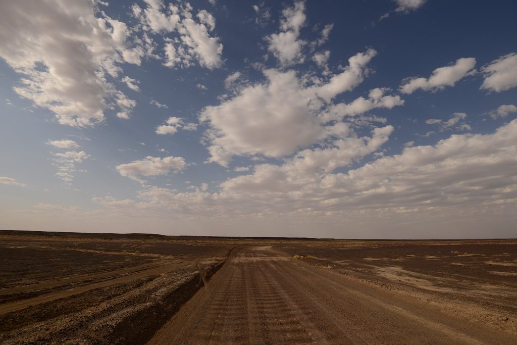
After that little adventure we continued onto William Creek to get petrol before starting on the notoriously badly corrugated dirt track to Halligan Bay.
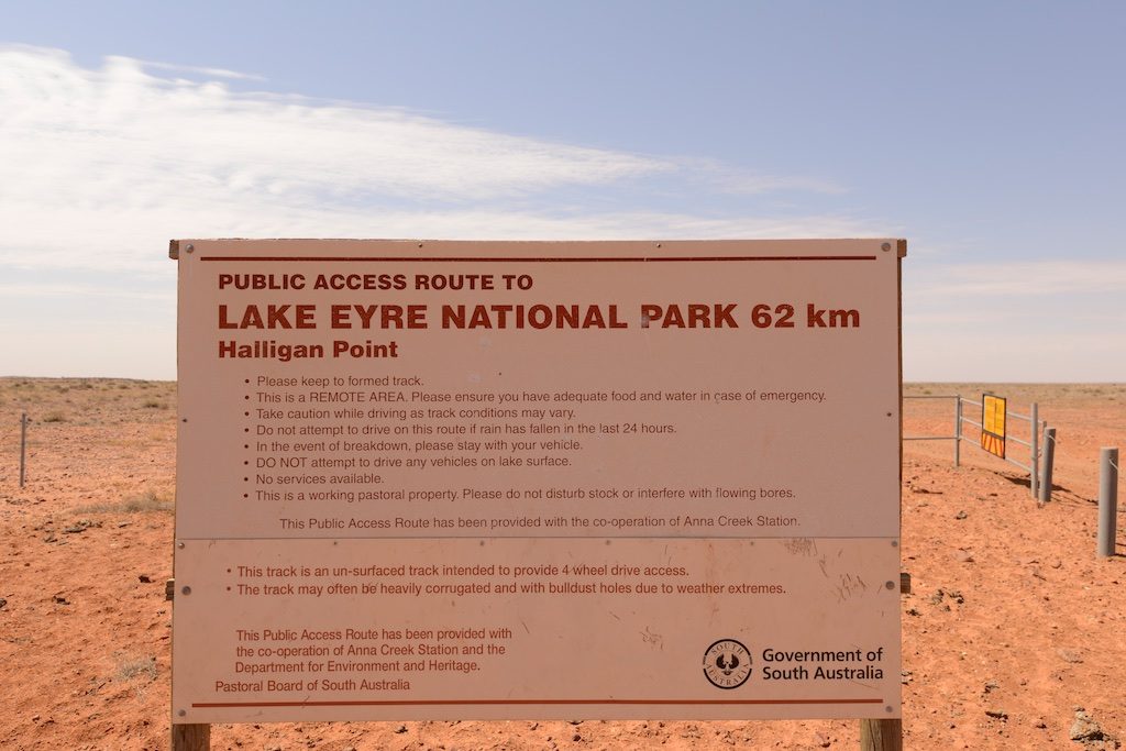
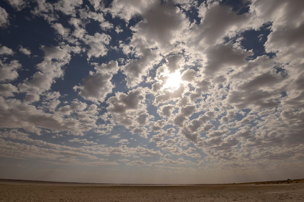
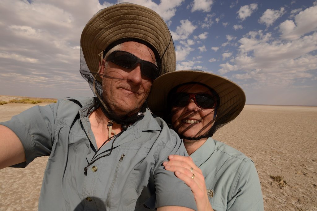
Halligan Bay has a basic campground (with toilets), but more importantly, is situated at the edge of Kati Thanda-Lake Eyre North. It took us just over 3 hours to drive the 62km Halligan Track to the end; it was (is) very heavily corrugated (*). Upon getting out of the car at the end we were inundates by flies and the wind was again very strong, getting stronger. We did go for a walk to and just on the edge of the Lake. It was, like the previous day, very muddy. Caroline here claims ‘Low Point’ number 5 (-15.2m) ! For more on this go to 7lows.com.
Given the weather conditions were more than likely to deteriorate to similar or worse conditions as the night before, we decided to return to William Creek for the night. Driving back Stephen tried a new technique: instead of driving over the corrugations slowly, he sped things up a tad. We’d heard that at the right speed (any speed from 35miles/50km an hour) a car kinda ‘floats’ over them, significantly reducing the shaking. And what do you know: it worked! A word of caution though: at higher speeds on dirt roads like that, anything can go wrong must faster. It is not that easy to break suddenly so one needs to be totally focused on the road. Stephen did an excellent job of it and finished the Halligan track back to the Oodnadatta Track in about 1,5 hours, getting us back to William Creek well before dark.
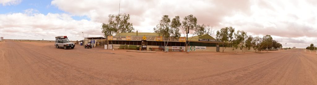
We checked into to The William Creek Hotel and enjoyed showers and a very nice pub meal. Caroline was able to wash that mud out of her travel pants.
William Creek is a tiny Outback town, located on the world’s largest cattle station, the 32,500 square kilometer Anna Creek Station (roughly the size of Belgium). The land for the hotel and associated businesses is rented from Anna Creek Station. The permanent population depends on how many people work there, anywhere between 5 and 10 at a time.
(*) Why is this track, which is a public access road, not regularly graded, and hence heavily corrugated, as opposed to the Oodnadatta Track? It is on the Anna Creek Station which has to grant public access on it by order of the Government, so tourists can get to the Lake. On the one hand the station’s view is: we allow access because we have to but do not feel the need to grade it. The Government on the other hand doesn’t want to grade it because it’s private land.