Friday and Saturday, January 20th to 21st, 2018
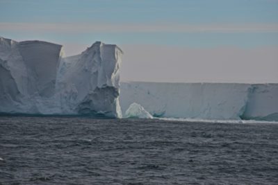
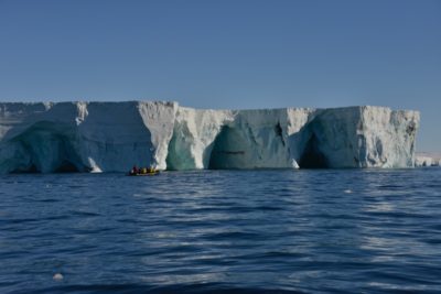
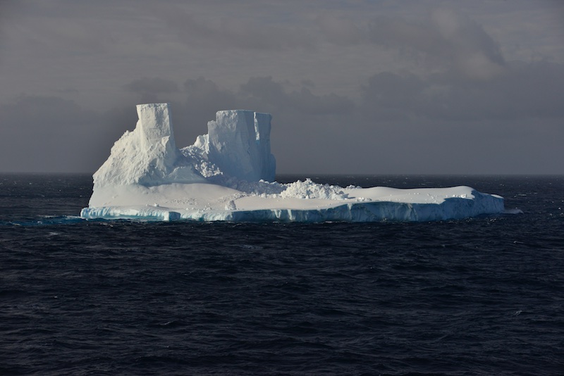
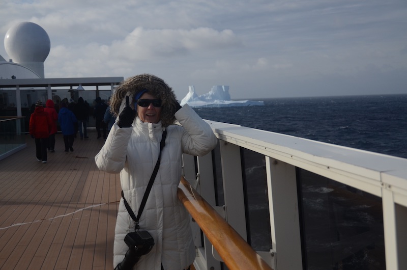
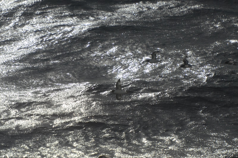
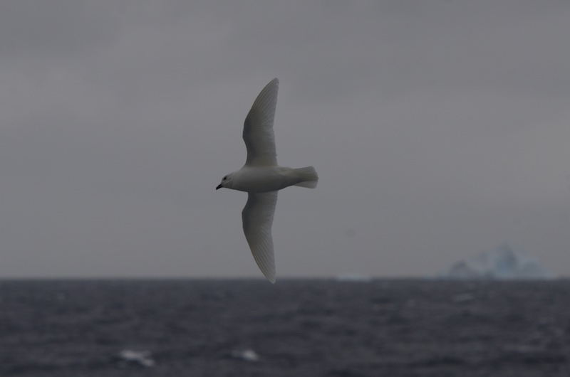
In the early evening of January 20th (day 6 at sea), we saw it: our first ice berg of the trip. After 5 days of nothing but water it caused more than just a bit of excitement! So up on deck 12 we all went to take pictures, but boy it was cold!!!! Glad I rugged up! Birds kept accompanying us and it was quite amazing to see their behavior this far out at sea.
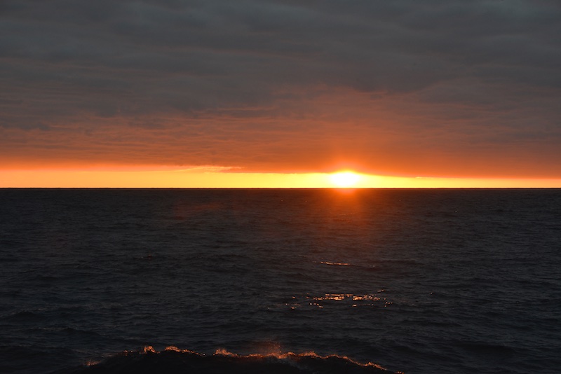
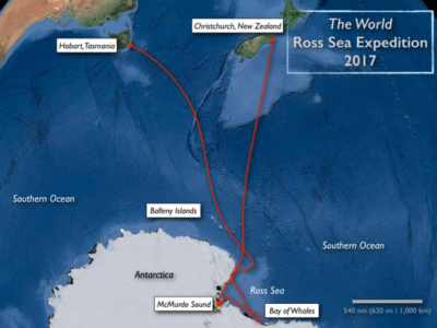
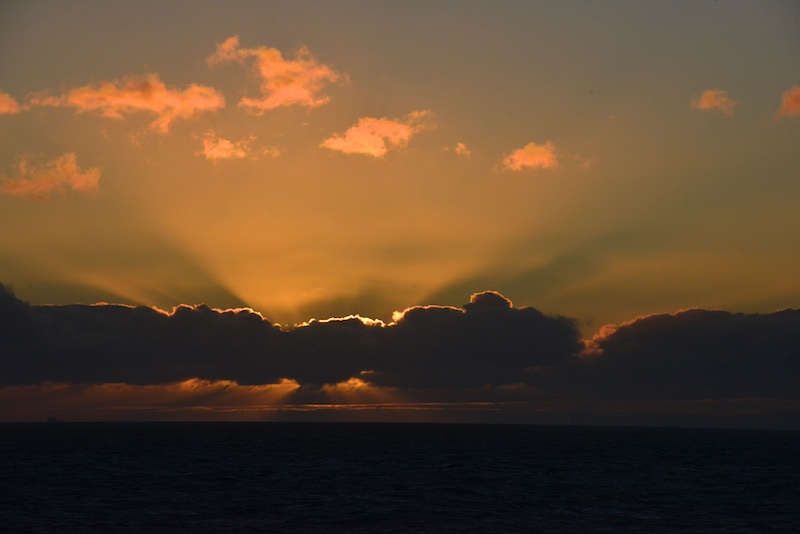
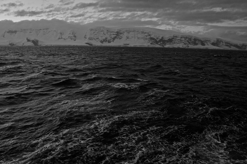
Around 21:30 – 22:00 we reached the Balleny Islands, rugged, icebound outcrops, which mark the entrance to the Ross Sea. These ice covered rocks were the first land we’d seen in 6 days. The sunset, just as we got to the islands wasn’t half bad.
In the early hours of the morning of January 21st (day 7 at sea) the ship crossed the Antarctic Circle, the most southernly of the five major circles of latitude that mark maps of the Earth. This showed just how far south we had traveled already, and we were still going further down the map. The position of the Antarctic Circle is not fixed: as of 15 January, 2017, it runs 66’33”46.5 south of the Equator.
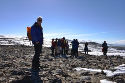
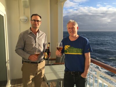
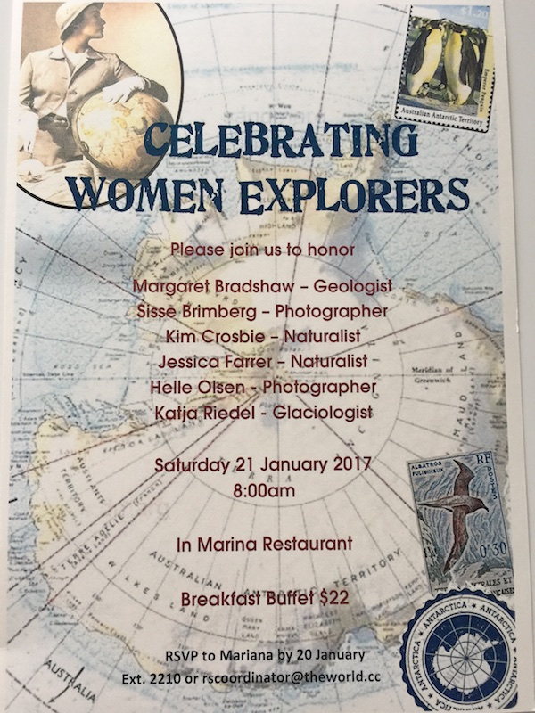
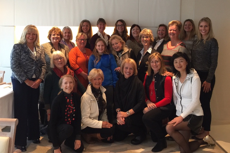
Caroline’s morning started with a breakfast ‘Celebrating Women Explorers’. After all 6 members of the Expedition Team were female; a fact that wasn’t always as ‘common’ as it is nowadays. And a good day it was for it considering what was happening in The White House that day…..
That night the sun didn’t set – and wouldn’t set anymore until we started getting more north again.