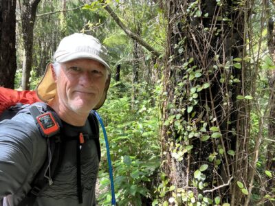
From lush rain forest paths along the shores of Lake Te Anau and Manapouri to alpine sections over Mt Luxmore and exposed ridges. Some modest rain, but dodged some nasty weather on the day that counted.
Day 1 – Te Anu Control Gates to Luxmore Huts
Getting to the trail head was a small feat of logistics. Being a 4 day walk, it was important to be at the trail head as soon after finishing work as possible. So, two days prior I drove from Hawkes Bay to Wellington (after work) and one day prior flew from Wellington to Queenstown and drove to Te Anau (again, after work). Allowing me to start the tramp after work on the third day. My day finishes around noon local time, which is 5pm in California, and around the time I typically stop working for the day.
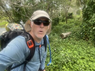
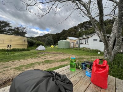
The late start meant I had the track to myself. And a very pleasant walk it was. Even the up hill section was not too bad. The rain appeared as I approached the Hut, but was able to arrive dry enough. Sneaked out to visit the somewhat unremarkable limestone caves located very nearby.
I had been awake since midnight, so I was sound asleep by 7pm getting 12 hours of unbroken sleep.
Day 2 – To Iris Burn Hut
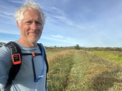
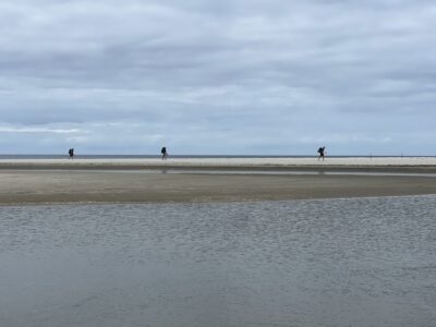
The weather was nice for this alpine section. It had snowed down to 1,100 meters the night before, and the track was icy in parts. There was a good breeze across the exposed tussock landscape, providing beautiful views across Lake Te Anau. As I was away ahead of the main crowd, and only bumped into other trampers at the shelters and view-point, otherwise I had the track to myself.
It was a nice day, and was able to enjoy the 17 km (10 mile) section at a very leisurely pace. Once I arrived at the hut and getting a bunk bed for the night, I headed off to visit the local water fall. Which although nice also had sand flies, so did not spend too much time enjoying the falls. The hut was cosy with the fire burning and rain outside, so spent the evening talking to other trampers.
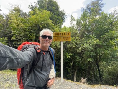
Day 3 – Back to the Start of the Loop
It rained all night, but stopped as I set out to the next hut; perfect timing. The track was downhill for the entire morning, following along the river for the most part. During most of this walk I was thinking that Caroline would enjoy this section. I was also trying to decide if I stay at Moturau Hut for the night, or push on another 16 kms (10 miles) and find a hotel for the evening.
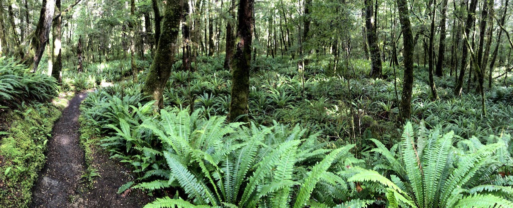
Around lunchtime I arrived at Moturau Hut, and the decision was an easy one. The weather was holding, the forecast for tomorrow was not great, but most importantly, there was a small sand fly problem. So, after a cup of tea and a bite to eat, I continued on. The track continued through lush forests and wetlands, and really was magnificent. The final stretch from Rainbow Reach to the control gates was less impressive.
This last day ended up being a big day. My watch reported a distance of 32 kms and a time of 7 hours and 30 minutes. I arrived at my rental car to find the battery was flat, and waited 15 mins for the roadside assistance person to show-up and jump start the car. By 6pm I had showered and was in the pub having a beer and Sunday night roast lamb. It was the right decision to collapse the last two days into one.