
Status: Done
2011 – May 27-30: Memorial Day Weekend.
About 10 days before the long Memorial Day Weekend we decided to go and revisit Badwater in Death Valley. A bit of a crazy idea since it would be very hot in the desert – which no doubt was why we were able to book last minute accommodation in the National Park -, and the idea of walking to the actual lowest point (and not just to where the sign is) got us all fired up. It would also be good training for our upcoming trip to Djibouti a few weeks later!
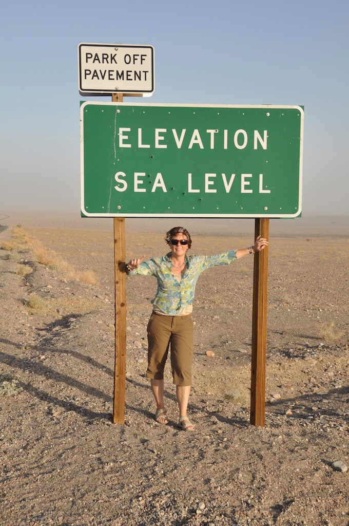
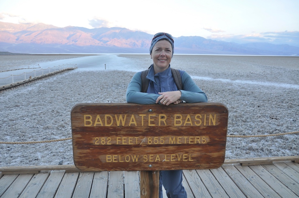
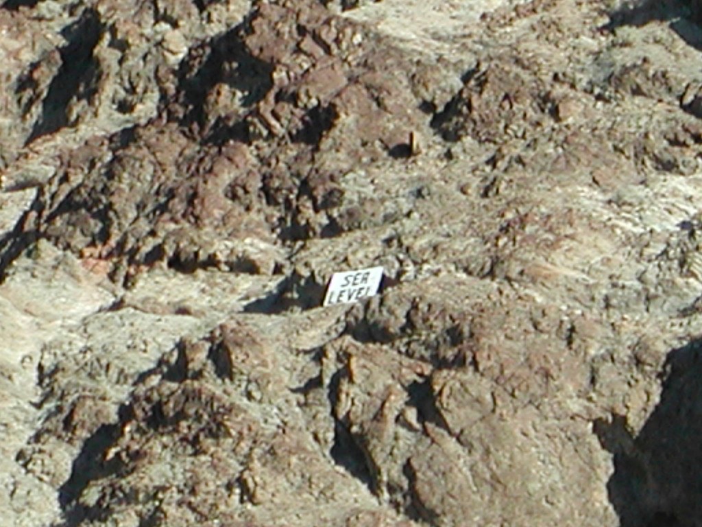
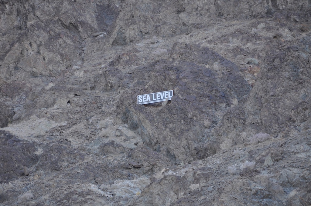
When we visited Death Valley and Badwater the first time around in 2002 we had no real idea of the significance of the ‘Low Point’ there. Sure, we saw the signs ‘Sea Level’, ’100 Feet below Sea Level’ and of course the sign at Badwater itself, but we weren’t aware that this was the lowest surface point on the Northern American Continent. More, the idea of ’7lows.com’ didn’t take shape until sometime in June of 2010. So our visit to Badwater was merely a drive-by with a quick walk to the sign and some photos. We also had less time as we did not stay in the National park itself. More on that in the 2002 entry.
This time we not only had more time but were also better prepared.
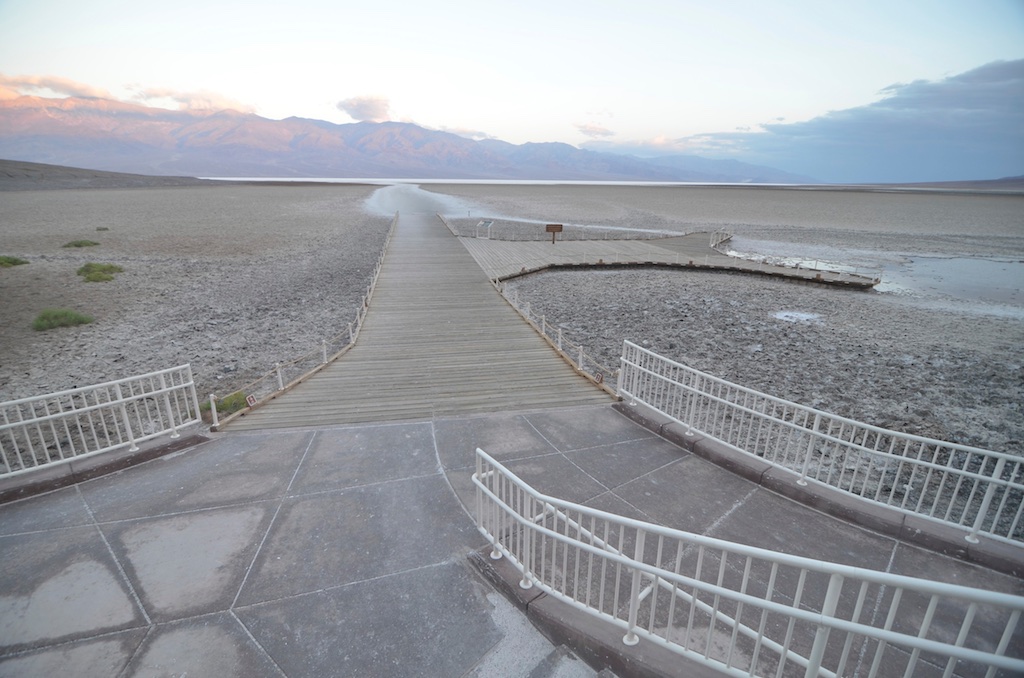
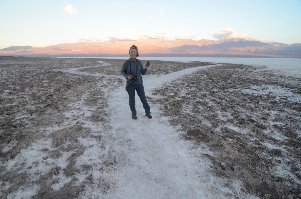
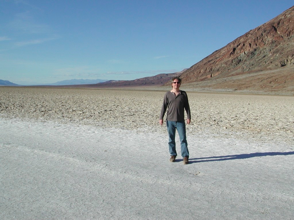
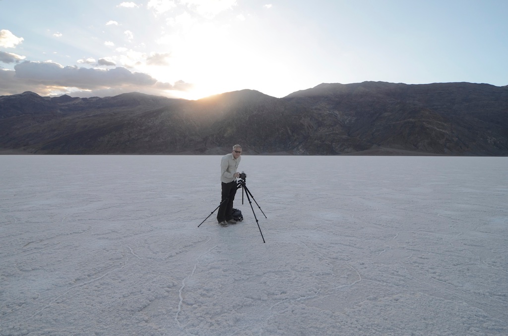
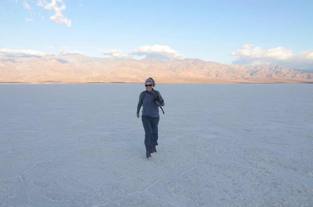
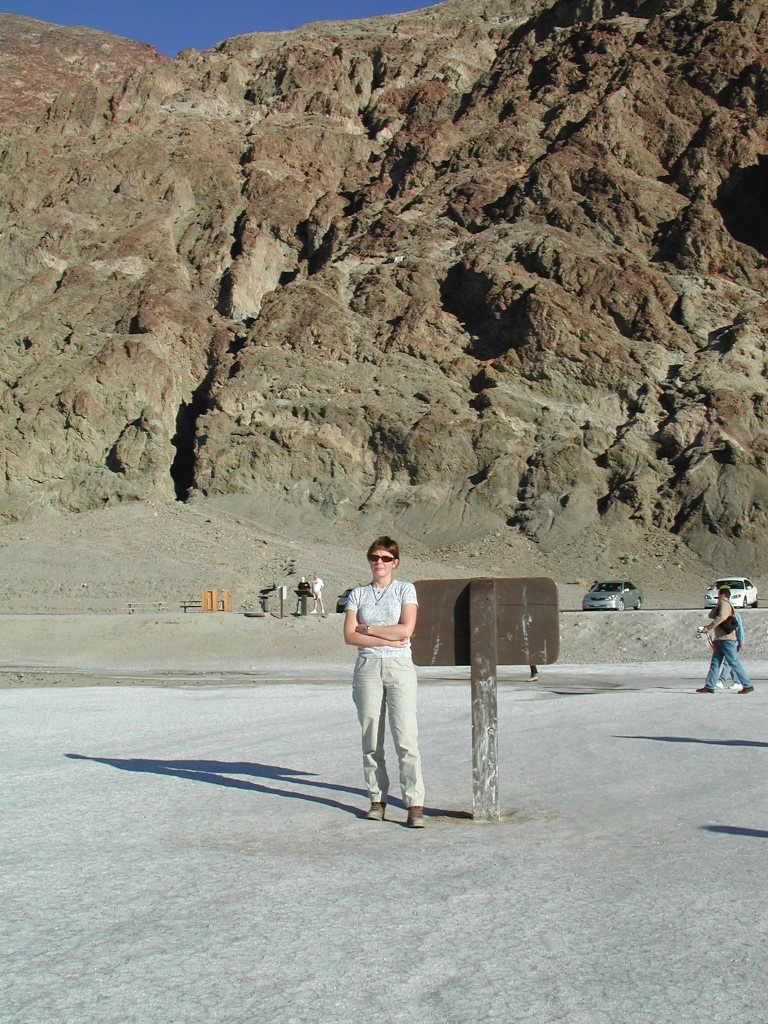
Stephen had just a few weeks before, for our 20 Jetfoil Anniversary (the day we first met), bought me a fancy new handheld GPS unit (Garmin Oregon 450) on which he had marked the -85m/-282ft circle in the middle of the Badwater Basin. That way we would know exactly in which direction to walk from the car park. There is a sign at the car park, but that is not where the actual low point is. The only reason we can think of that the sign is where it is, is to avoid having unprepared (not enough water and extreme temperatures) people walk out onto the salt flat and further and further away from the car park and getting into trouble. Everything is on a different scale on the salt flat and it is not that easy to judge distances.
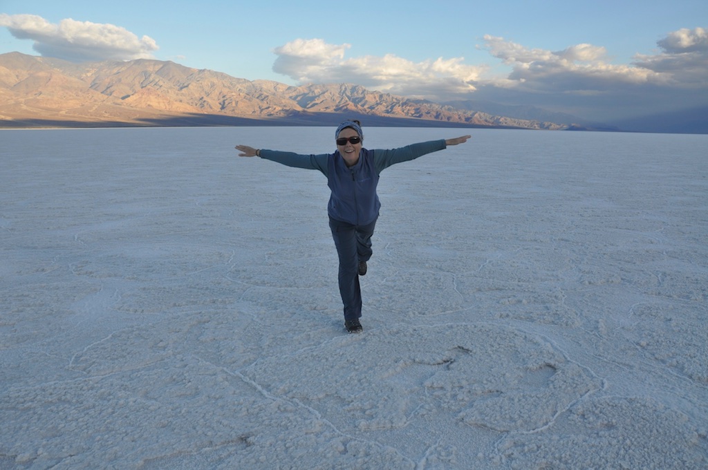
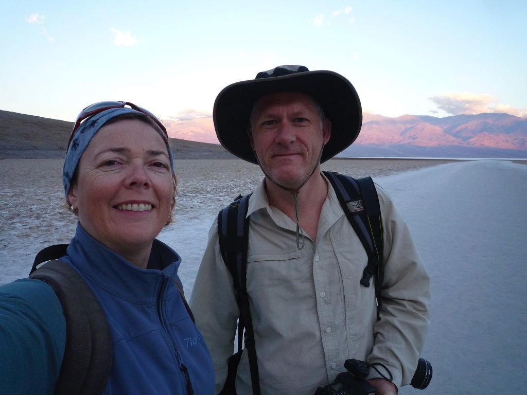
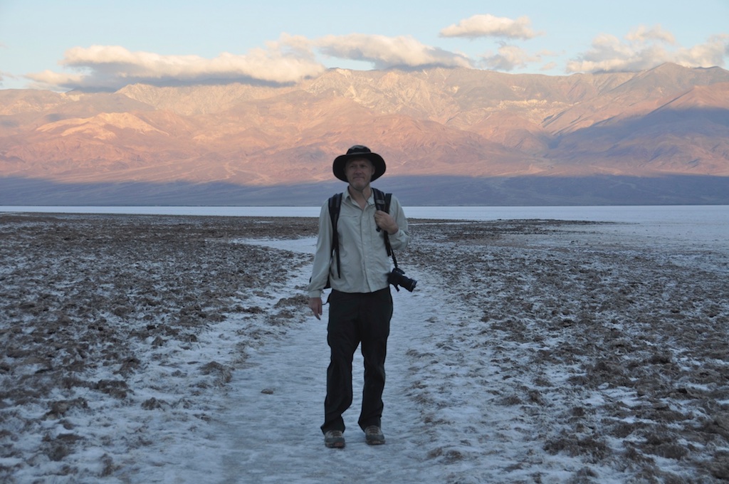
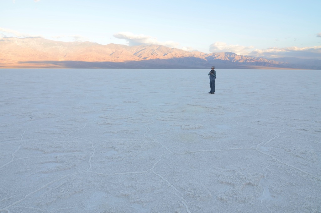
We were prepared though. As said we had our course plotted in the GPS, mainly to know where the exact low point was; we got up at 4:30am to beat the sun and enjoyed the changing colors pre and during the sunrise.
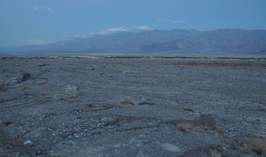
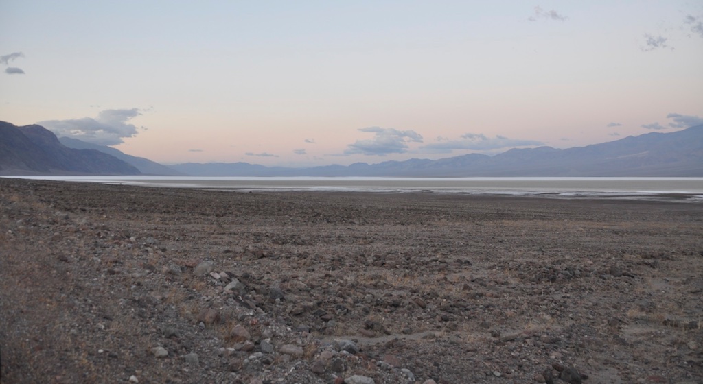
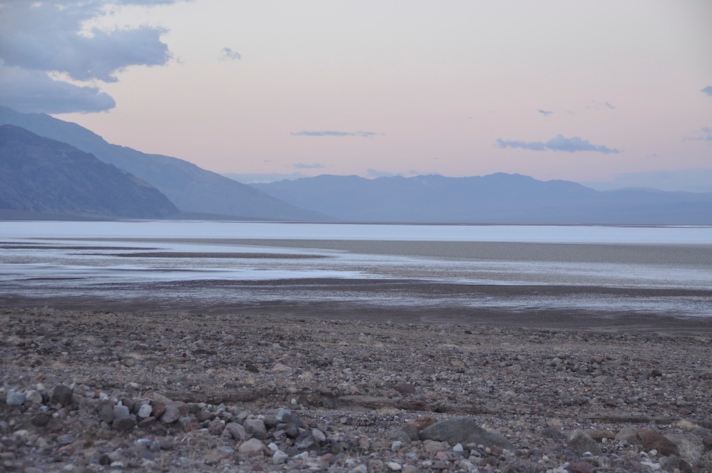
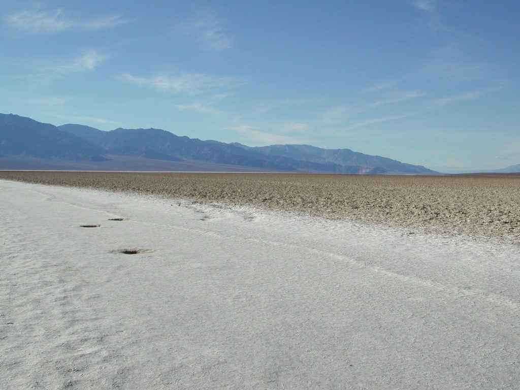
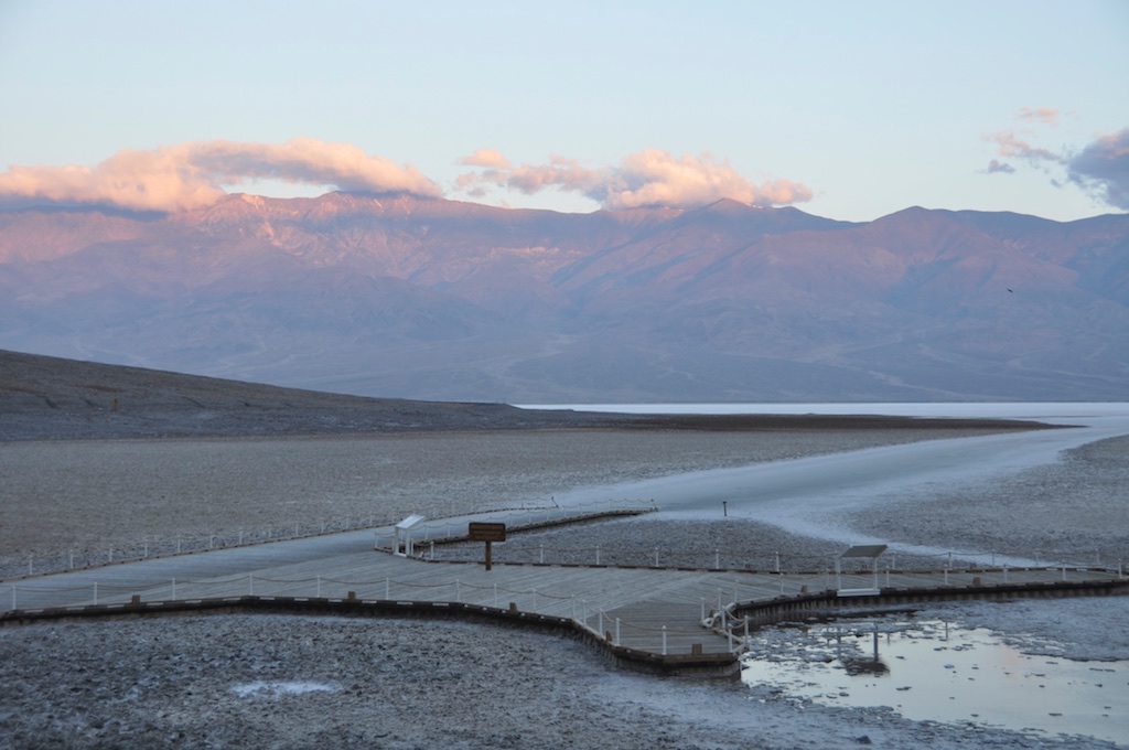
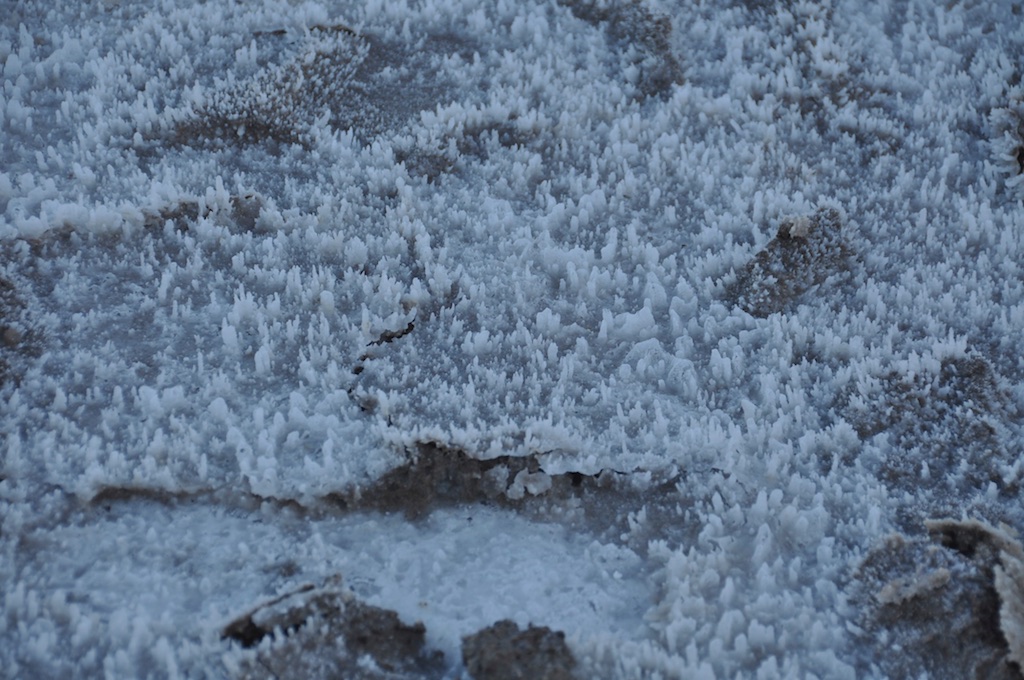
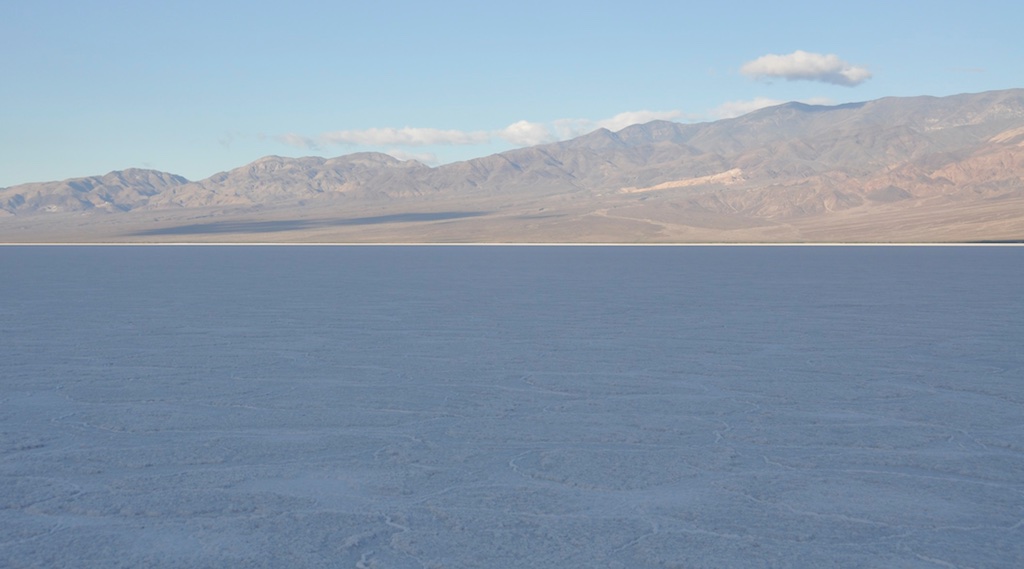
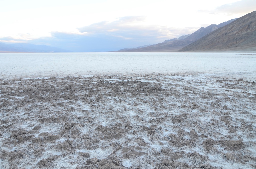
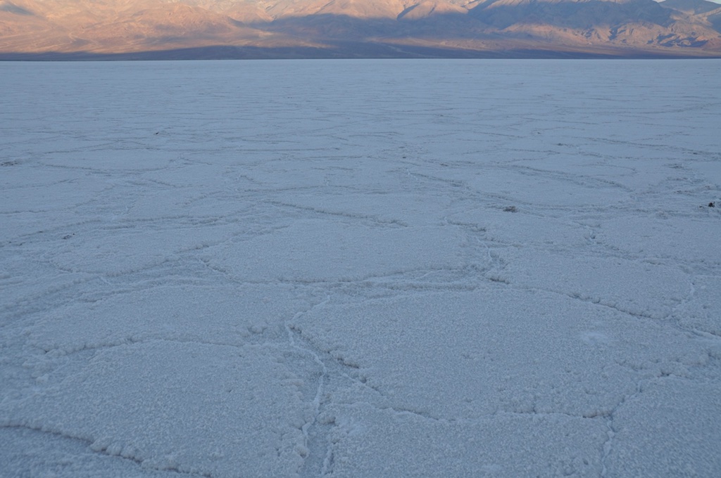
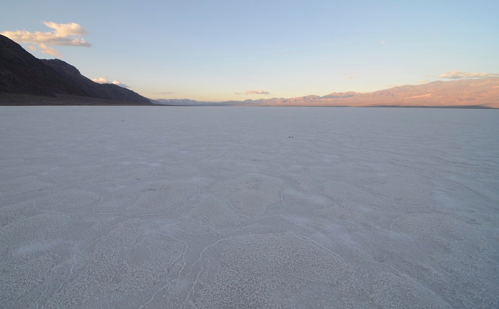
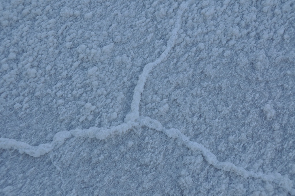
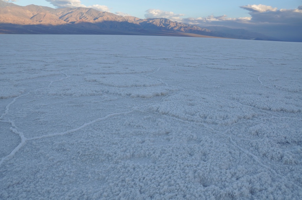
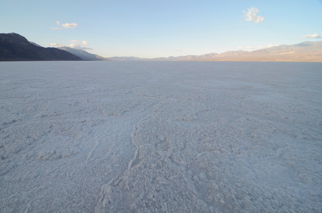
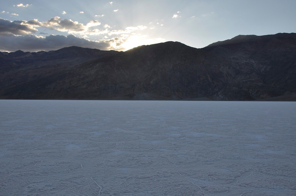
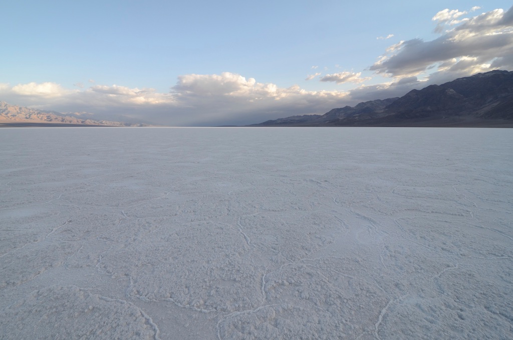
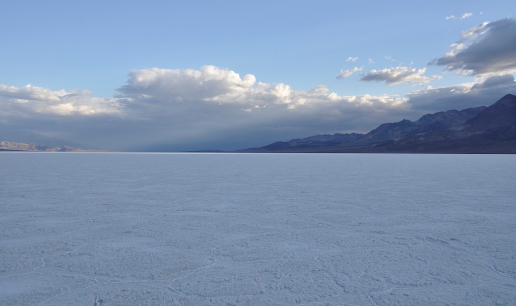
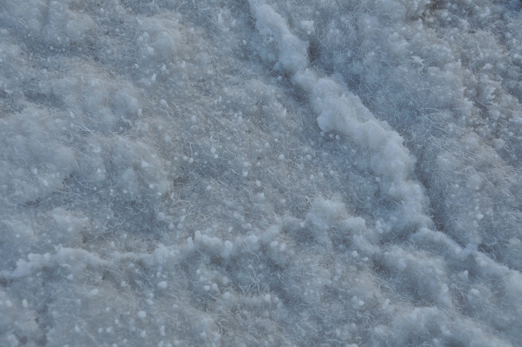
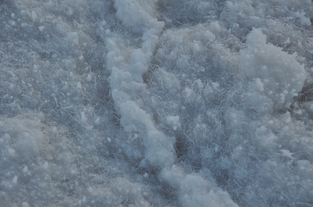
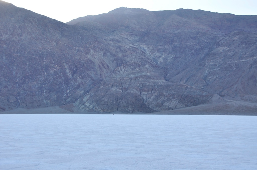
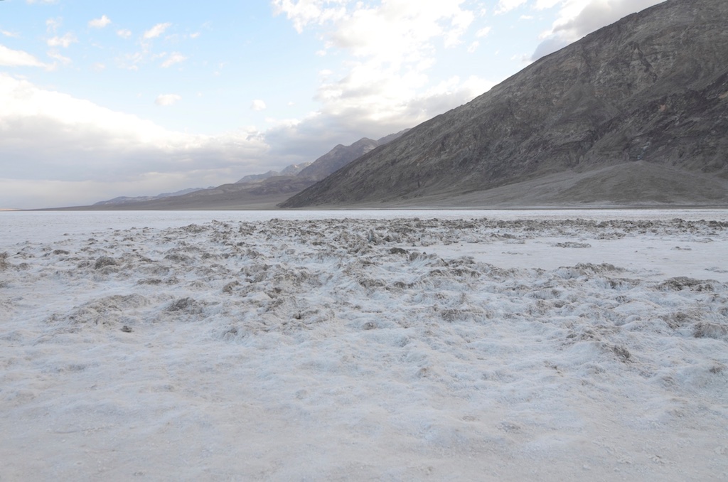
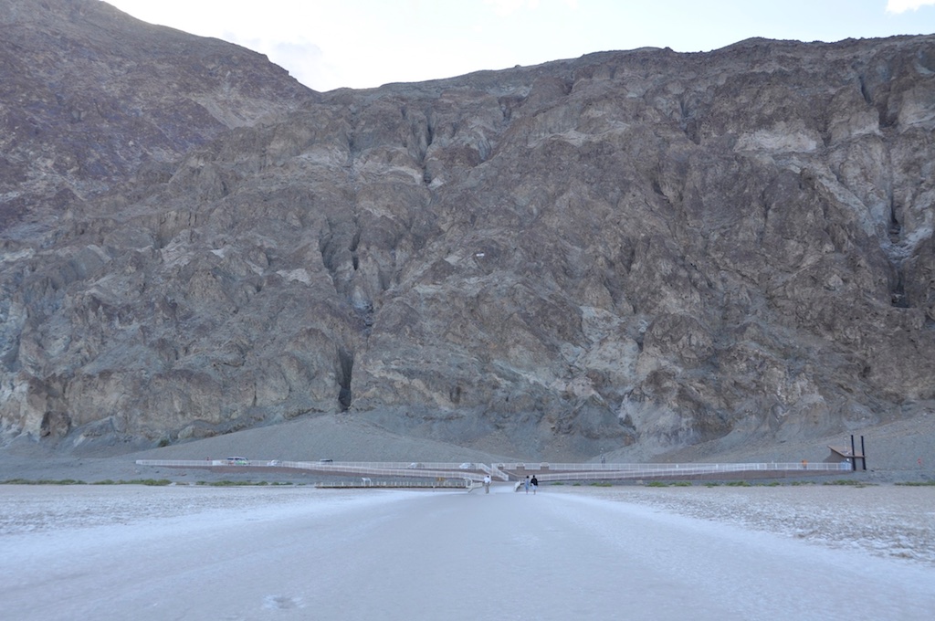
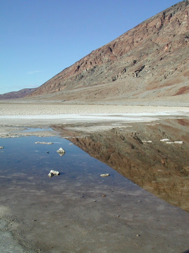
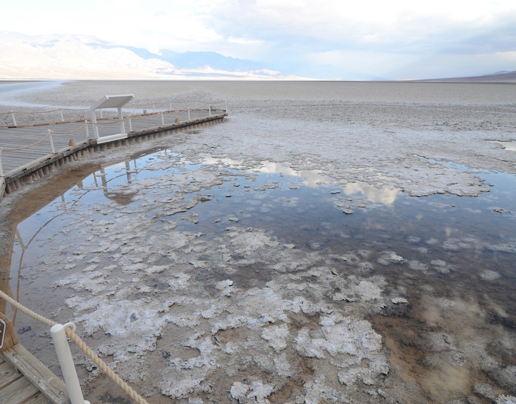
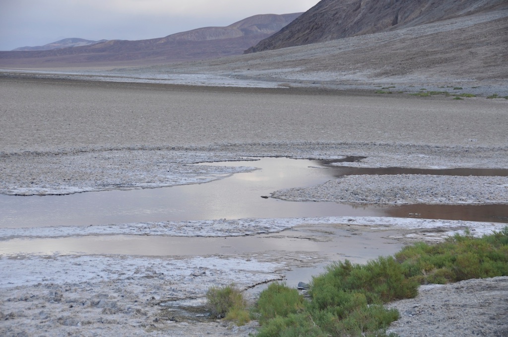
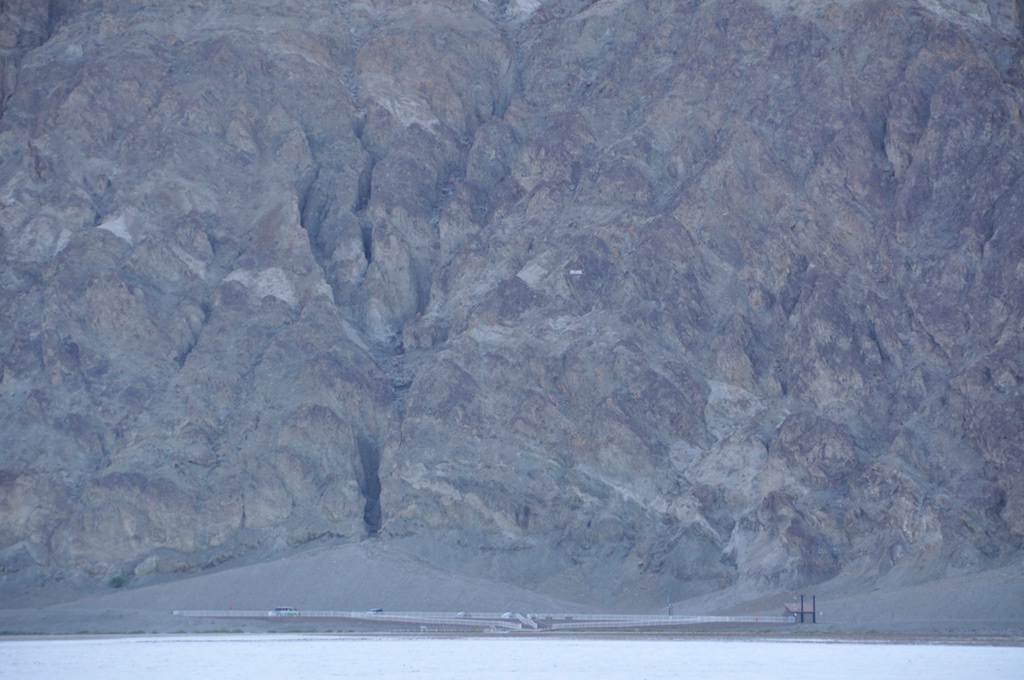
We arrived at the totally revamped car park around 5:30am. You can see the difference with 2002 in the photos. We took some photos, enjoyed the fact that we were there again and set off for our walk around 5:50am. The weather was cool and very, very windy. We started the walk on what looks like a nicely graded road (but is in fact salt polished by the foot traffic) and then continued onto the actual salt flat of Badwater Basin.
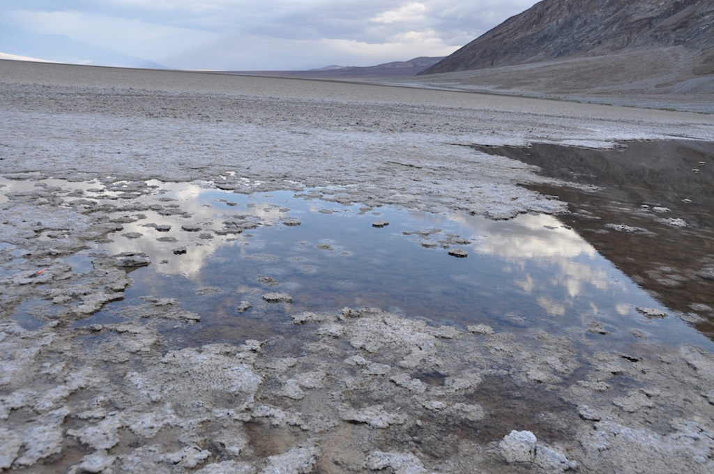
The wind was blowing so hard it was difficult to keep the cameras steady, we were the only ones on the salt plane, the sun was slowly coming up behind the mountains which made the colors change constantly, the salt crystals crunched beneath our feet,… the whole experience felt surreal.
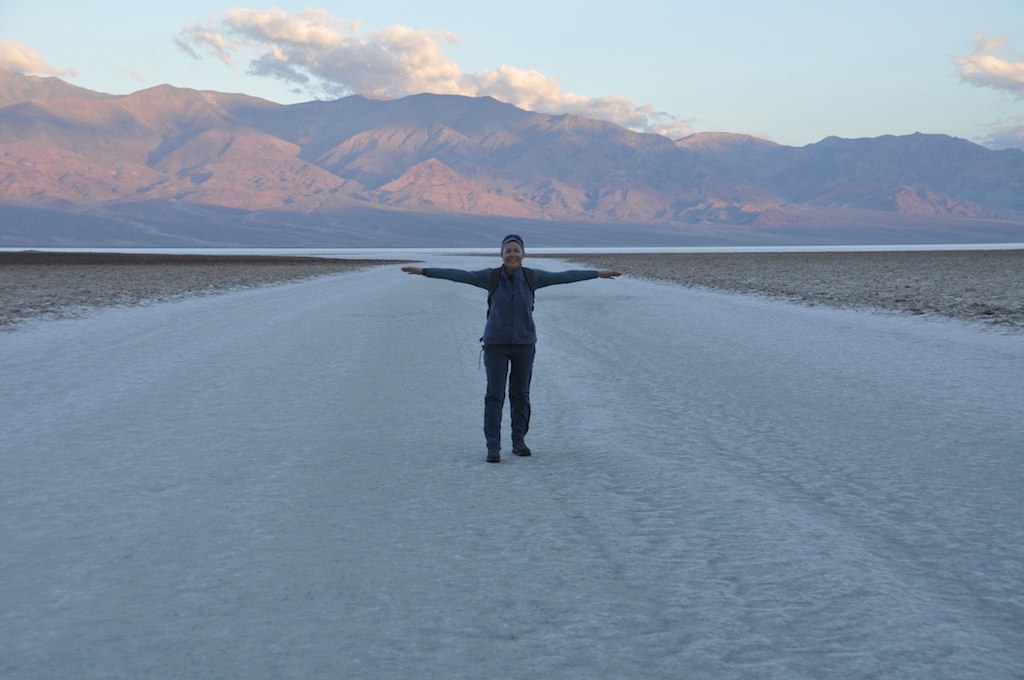
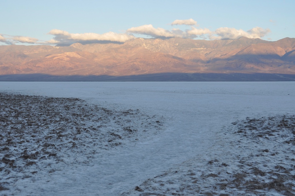
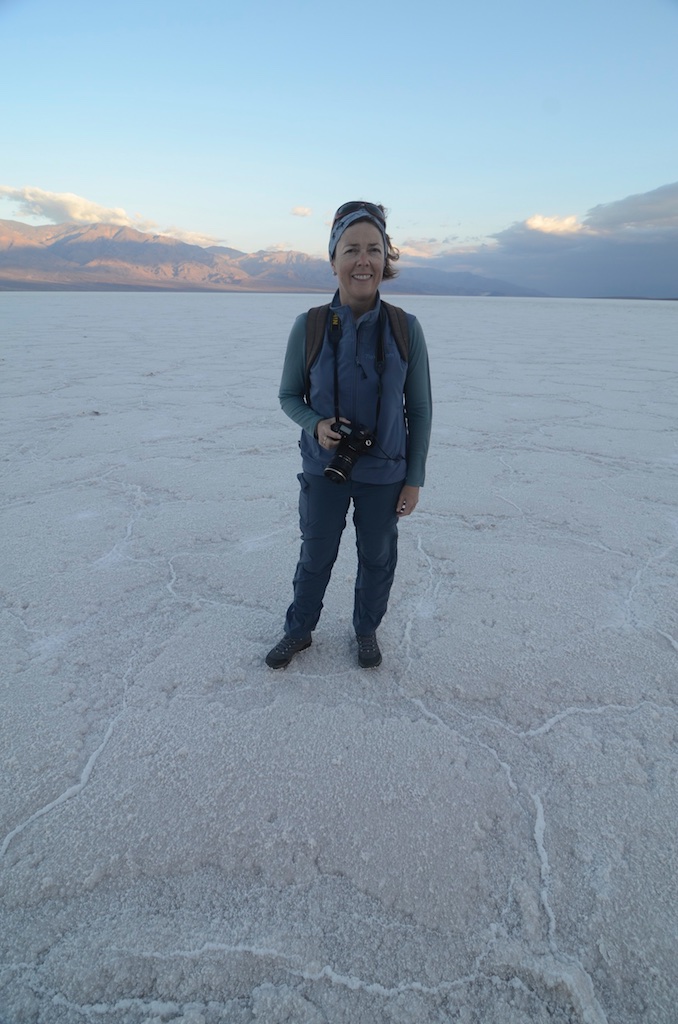
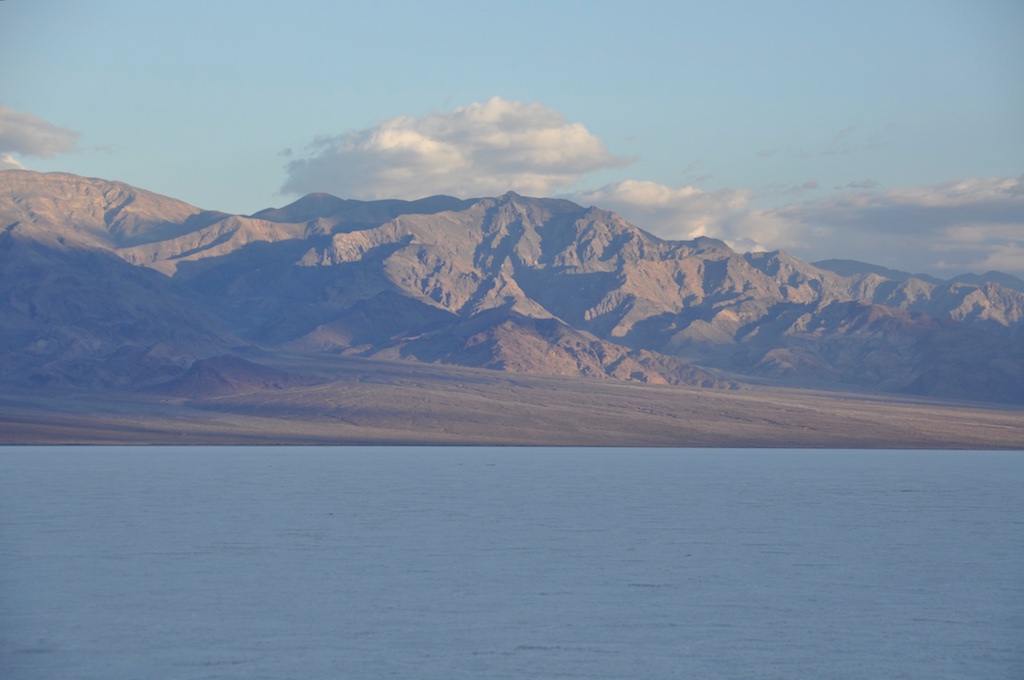
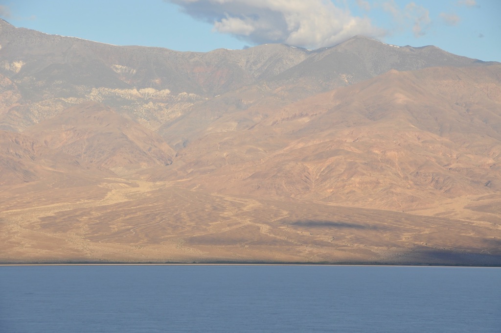
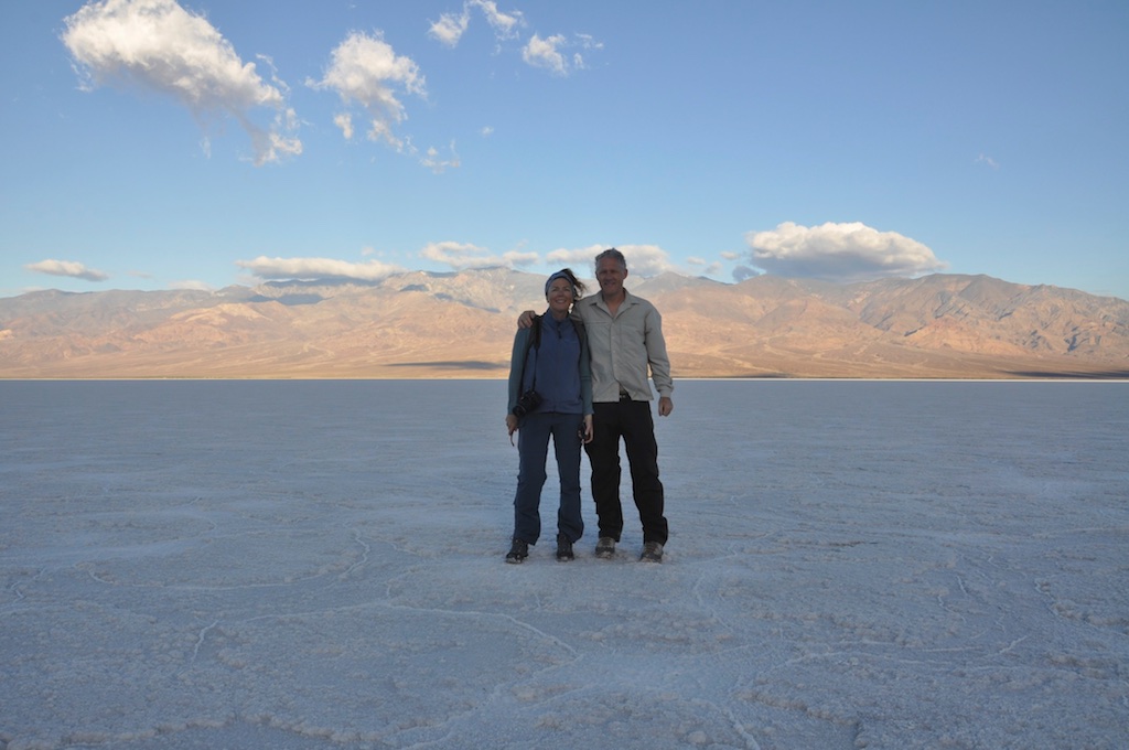
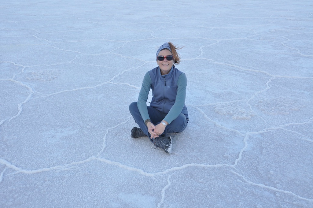
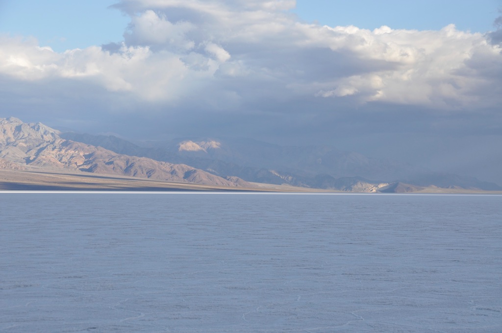
At 6:32am, guided by our GPS, we reached -85m/-282ft, the Low Point for the Northern American Continent. Very satisfying feeling! We stayed a while to savor the moment, took some more photos and started walking back around 6:45am. Our main goal was to get back to the car park before the sun got too high, but because of the cloud cover that was never an issue. In fact it remained cloudy all through the day and temperatures were between 44F and 64F (7C – 18C); we even had a few rain showers. Not what we’d expected for this time of year in the desert but it turned out to be very pleasant.
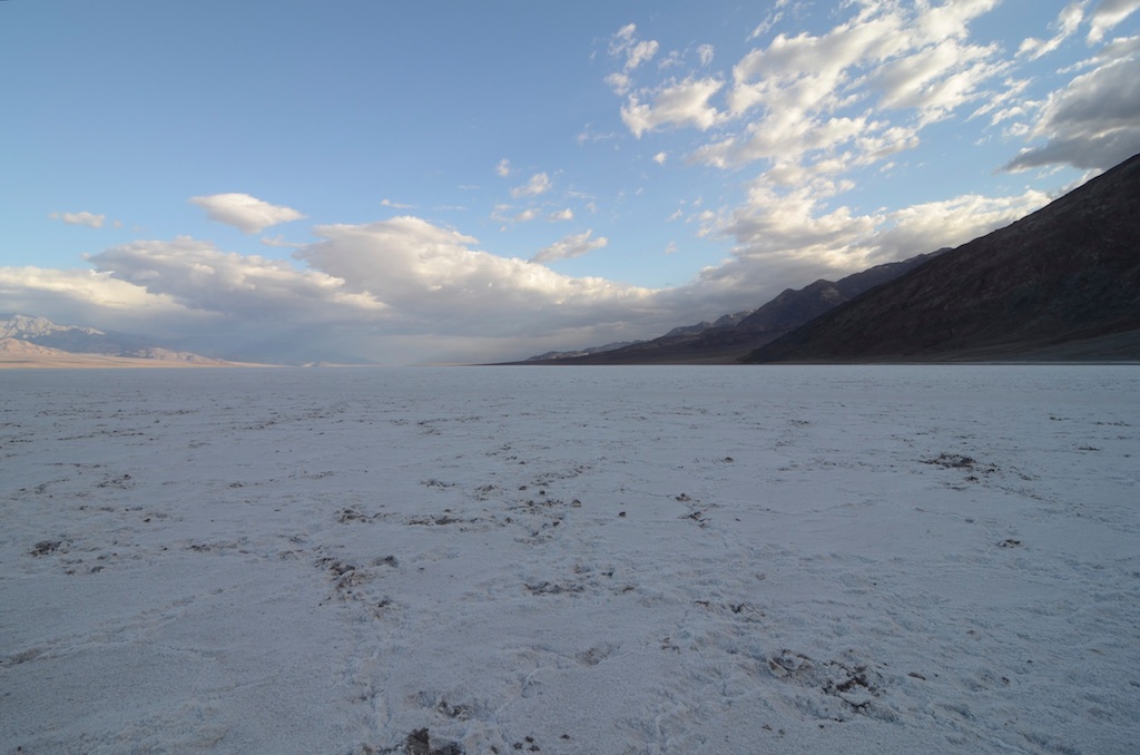
We arrived back at the sign and the car park at 7:20am. The sun had been up since 5:32 but was mostly hidden behind clouds, so no harsh light on the salt flat. Shortly after 8am we arrived back at Furnace Creek Ranch where we enjoyed breakfast and coffee.
An early morning very well spent!


2002 – February 16-19: President’s Day Weekend.
We set out for our first but drive-through only visits to Yosemite Nat’l Park and Death Valley Nat’l Park. At that time we didn’t have a notion of the ’7lows’ concept. Turned out, when we got there that Badwater in Death Valley is the low point for the North American continent. Cool. Writing this now (09/23/2010) I do want to go back and be there while realizing where I am.
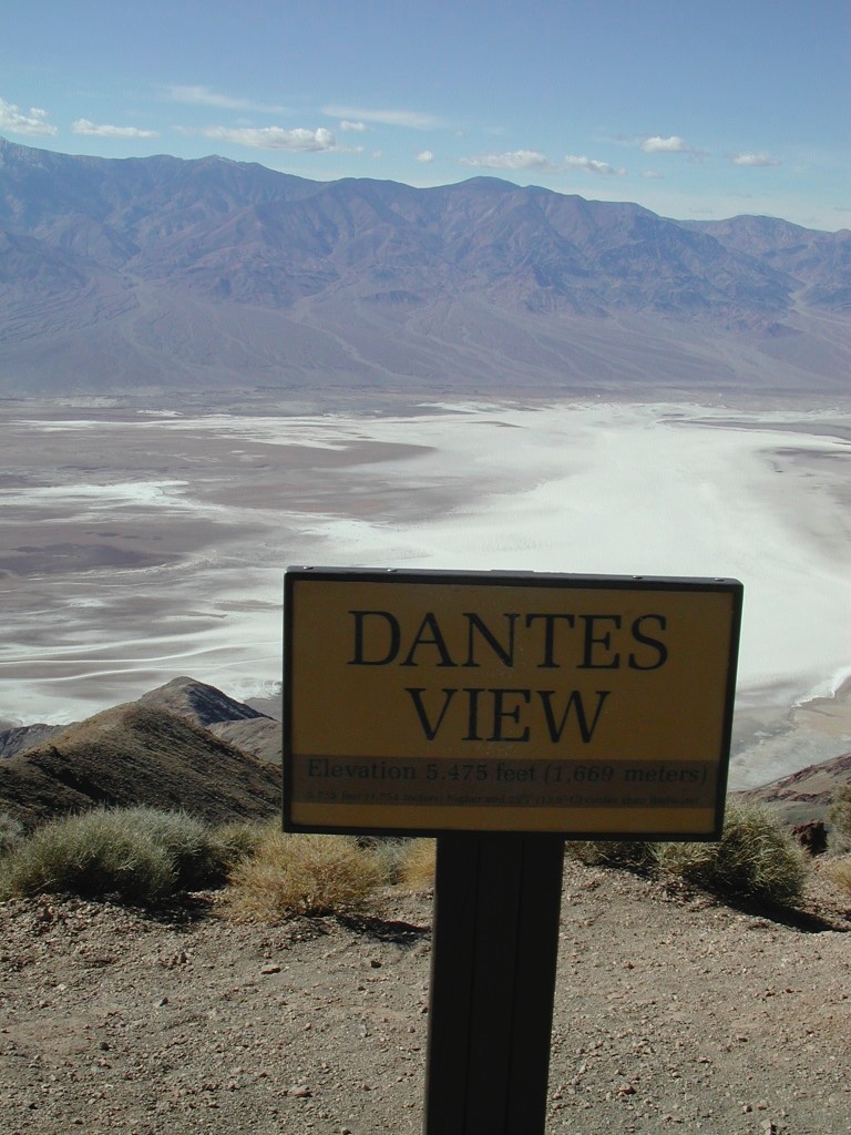
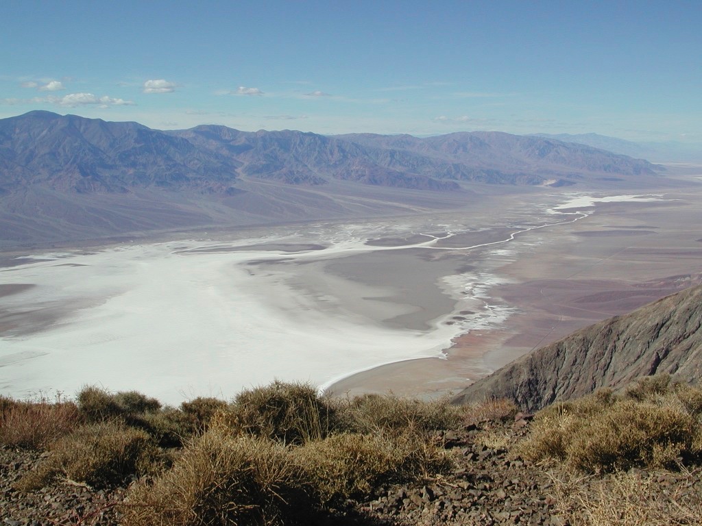
We made it a 4 day driving weekend. On February 16 we made it to and drove through Yosemite, a place that has become one of our favorites and that we have visited many times since. The next day we cruised around and stayed the night in Ridgecrest from where it was relatively easy to get to Death Valley. First stop on February 18 was Trona Pinnacles and then we continued into Death Valley National Park, with stops in Stovepipe Wells, the Sand Dunes, Furnace Creek, Badwater, Dantes View, Zabriskie Point, Artists Palette before driving out again.