There are lots of great mapping applications and tools out there. And everyone has their favourite ones. Here we will list of our favorites, which we use on our iPhones and iPad.
Avenza Maps
Avenza Maps is much more than a mapping application, it is more like a map shop. It is an online store where you can search for maps from all over the maps and download the ones you want.
Publishers of maps upload their maps to the Avenza platform and then people like us can download them. We typically download the free ones, but there are also maps available for purchase. Avenza is like the iTunes store, but for maps and not for music.
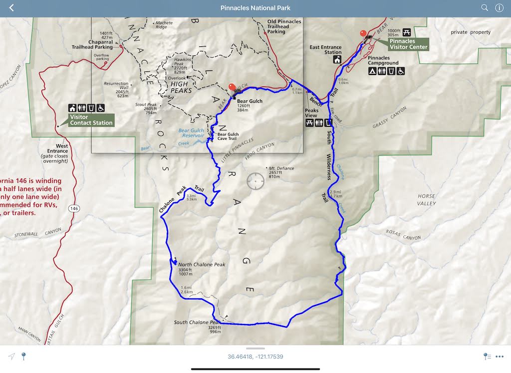
The iPad application to view these maps is ok, but not great. It has all the usual features, including offline viewing. The reason why Avenza Maps gets the top spot is because some of the maps available on the Avenza store are just beautiful. And a great reminder of the art of Cartography. Maps that we use often are the US National Park maps and the Motor Vehicle Use Maps. All the maps are geo-referenced, so when display on our iPhone or iPad, your current position can be shown on the map. You can track your movement and overlay it on the maps you have downloaded.
Google Maps
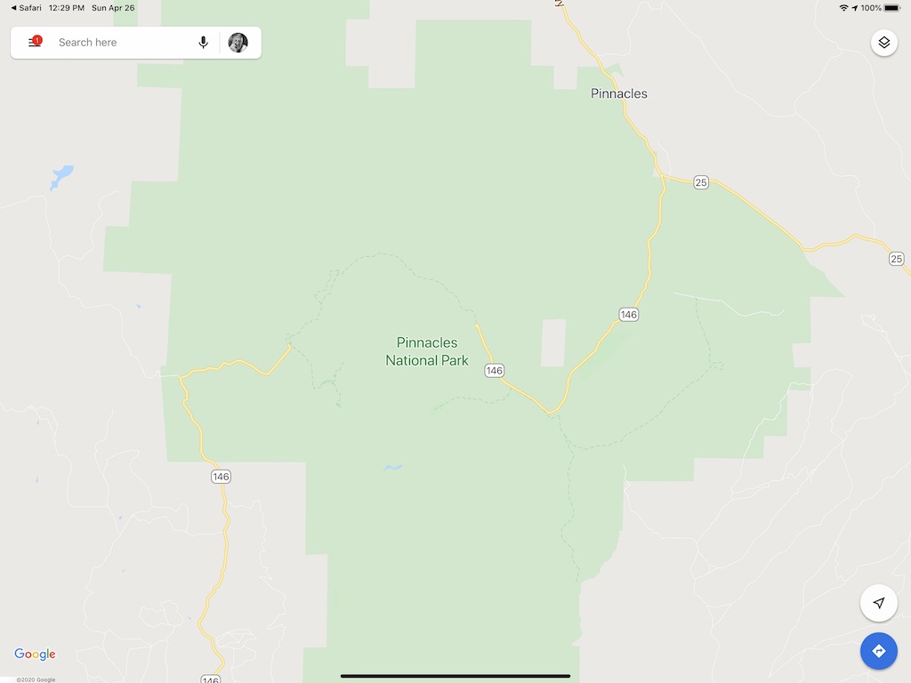
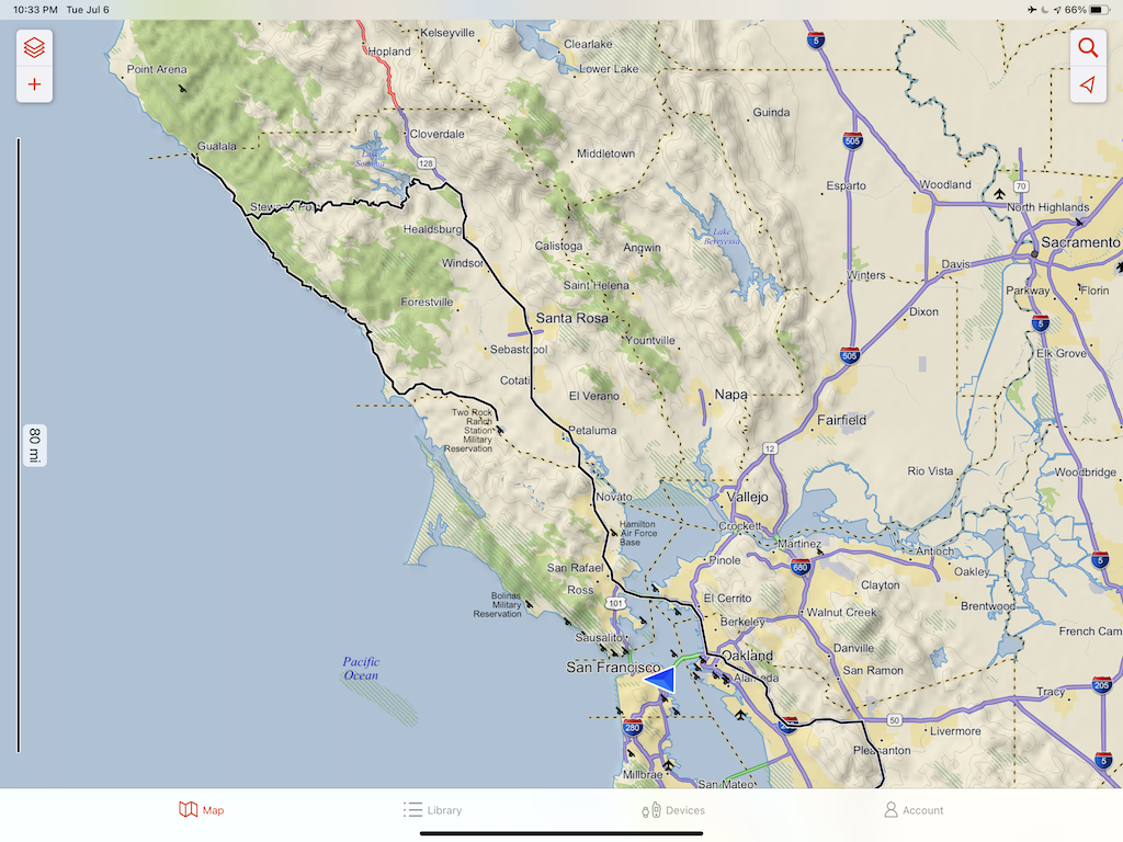
Google Maps offers the most functional and with the best international coverage of all the mapping applications. It doesn’t have the most features, but if you want to drive from A to B, then Google Maps is probably your best bet. Maps are detailed, have worldwide coverage, are accurate, with and awesome search and have live traffic information including road closures. This makes them great for navigation or route planning.
Google Maps work best with an Internet connection, but the applications does have an off-line mode that works well enough.
The styling of the base maps are quite plain. Which is offset with the very nice styling of the terrain maps (which unfortunately are not available off-line).
Guru Maps
We have been using for a long time. At least 10 years, back when it was called Galileo Offline Maps. And it is still one to goto when we need a quick map of the area.
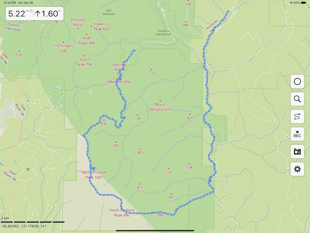
Guru Maps now has a Pro level offering, but we stick with the free version. It has everything we need. Only vector maps, based on Open Street Maps, is available off-line.
Support for hiking is good, allowing tracking, and later exporting the final tracks to other devices. If we go hiking, Guru Maps is the application we usually use.
Explore from Garmin
The only reason we like this application is that it is integrated with the Garmin eco-system, and it is super easy to display tracks recording on our various Garmin devices. This includes our Overlander, inReach and watch. Otherwise this is an unremarkable application.
It also gets a mention, as the Explore application is also preloaded onto the Overlander device. The iOS version is very similar to the Android version.
Other Applications
Avenza, Google and Guru and are the staple choice for us. This does mean not other mapping applications are not good, they are. We have used Gaia, maps.me and a few others. They all do similar things, and hard to argue one is better than another.
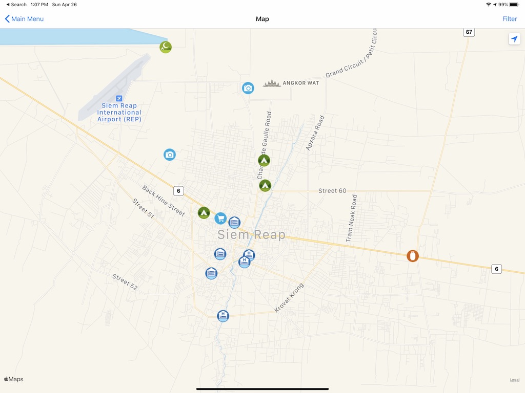
Should also mention iOverlander. While not really a mapping application, but more of a database of resources useful for people Overlanding, like campsite, places to stay, free parking spots, repair places etc. A must for an overlander.
Another notable application is Earthmate from Garmin. Very useful when using the Garmin inReach devices to send messages and get weather reports.